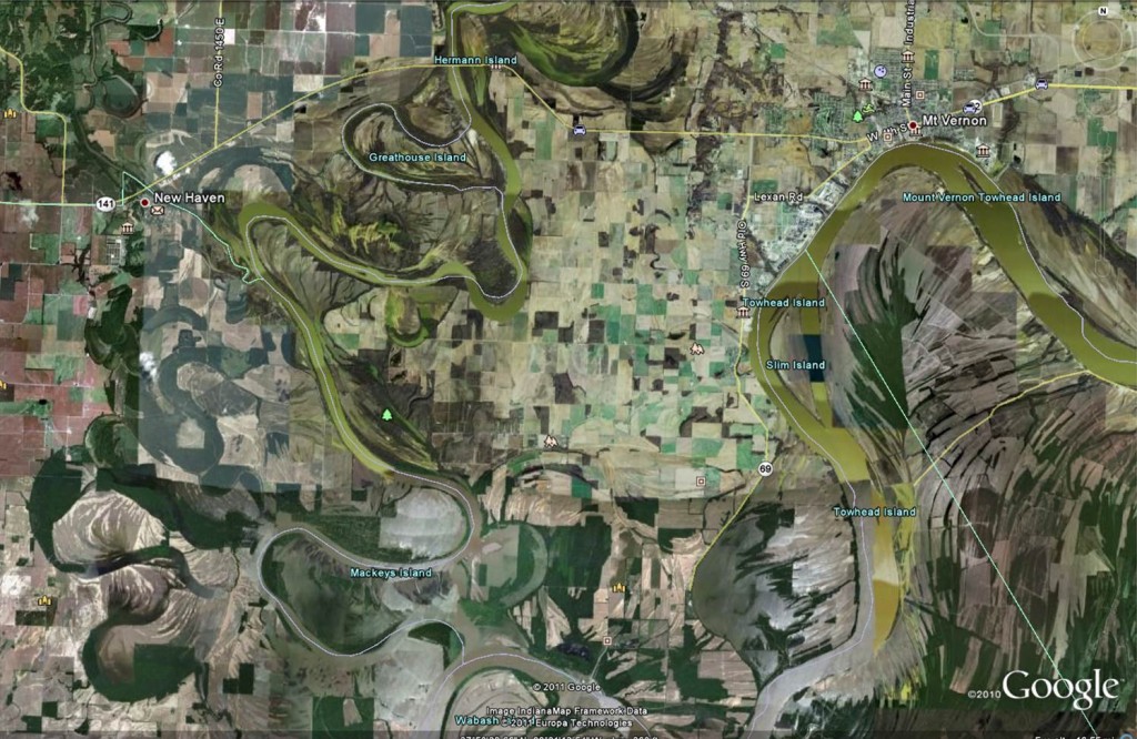
Rivers move – that is how they transport both water and sediment and build and reshape their floodplains. This process is also how fluvial erosion hazards develop. In the image of the Wabash River in southern Indiana seen below, the movement of the river across the landscape can be seen. Easily-accessible air photographs make river movement much easier to see than it has been in the past. But even when the movement of rivers can be seen, it can be difficult to understand, because rivers can shift position quickly, as may occur during a flood, or so slow as to be virtually unnoticeable.
How quickly a river moves is determined by a number of factors. Local geology, sediment load, slope, vegetation abundance and type, land use, and climate can all effect the rate of river movement. Fluvial erosion hazard mitigation is possible through understanding how and why a river moves across the landscape, and using that knowledge to communicate potential risk to those who may be susceptible. In some of the technical sections of this website, one can learn more about the science of rivers.
The Indiana Fluvial Erosion Hazard team encourages those interested to explore the various links on this website to learn more, if you don’t find the answer to your question(s) send us a note.
