While there are a number of potential indicators of bankfull stage, observations made by the Indiana FEH team have led to the identification of the three features that are most consistent in facilitating bankfull-stage determinations in Indiana streams. These include:
1. Breaks in topography where the top of the active channel bank meets the floodplain,
2. Lines of trees growing at the channel edge, and
3. A textural change between active-channel and floodplain sediments.
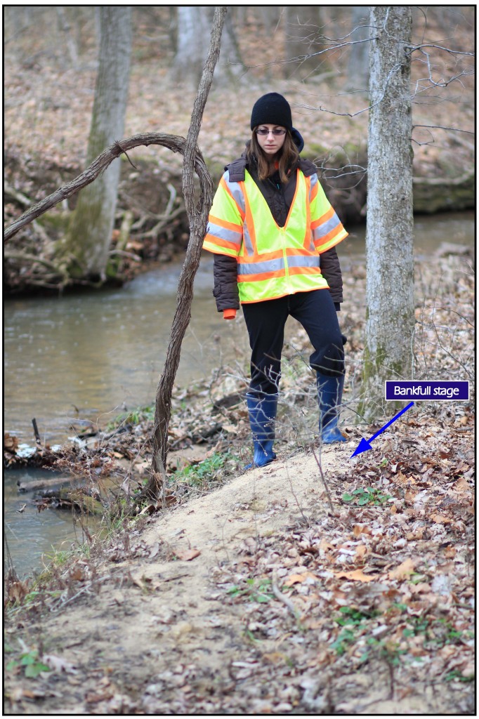
1. Horizontal tread of the active floodplain
In most cases where a confident determination of bankfull stage is possible, one can stand in (or immediately adjacent to) the active channel and allow their view to travel from the active channel to the fluvial plain. In natural channels, there tends to be a distinct topographic break where the inclined surface of the channel bank meets the horizontal surface of the floodplain. If the field investigator walks a path from within the active channel towards the fluvial plain, the floodplain will most often be recognized as the first location where their foot is resting on a horizontal surface just beyond the channel boundary.
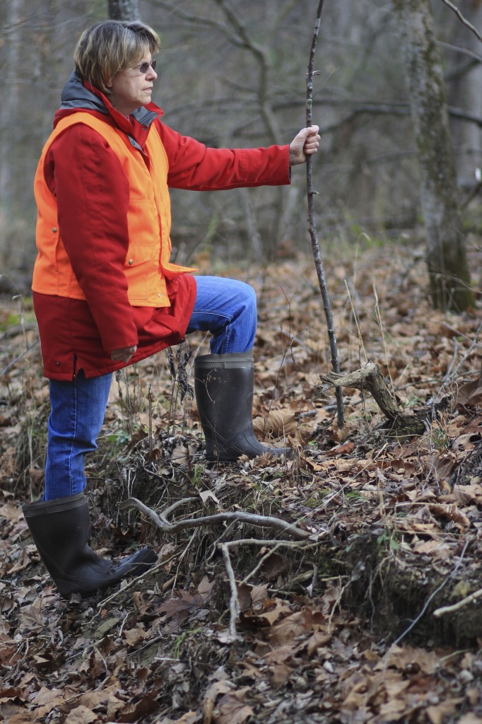
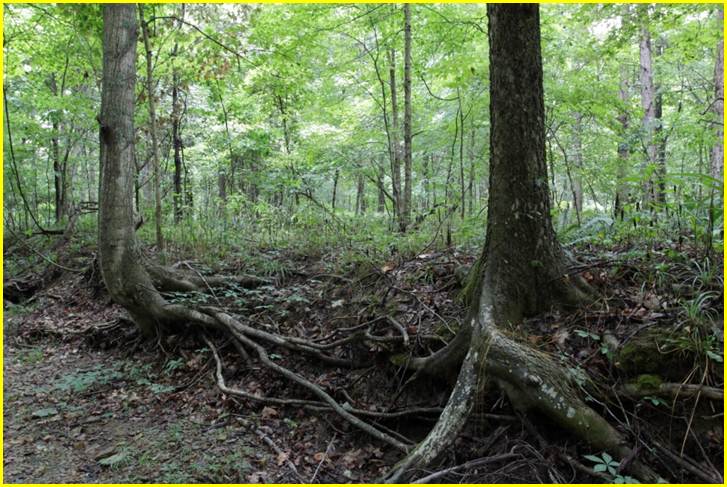
2. Lines of trees growing at the channel edge
While it can be common for annual grasses to become established on sand and gravel bars within the active channel, woody vegetation is typically not seen growing within the active channel. In most cases, the establishment of woody vegetation is restricted to locations beyond the active channel boundaries. There are two commonly seen exceptions to this rule:
1. Mass wasting (or erosion of the channel bank) may cause trees originally established on the fluvial plain to become positioned within the boundaries of the active channel.
2. During periods of drought, woody vegetation may become established in the active channel due to a temporary lowering of flow regime and the lack of high-flow events that would otherwise scour the bars and prevent the establishment of trees.
3. Overbank deposits of sand on the floodplain
With the goal of identifying bankfull stage, it usually is beneficial to make careful observations of changes in sediment texture between the active channel and the suspected floodplain. In most meandering stream channels of Indiana, one will recognize a range of particle sizes (e.g. sand, gravel, cobble, etc…) within the active channel. However, in most cases, this same range of particle sizes is not seen in floodplain locations. In fact, during periods of flooding, it is commonly observed that only the sand component of the entire sediment mixture reaches floodplain locations (see lower right). Therefore, when one sets out to identify the active floodplain, it is wise to make careful observations near the top of the physical bank and mark those locations where the coarser fractions of the sediment (e.g. gravel and cobble) mixture are lacking.


