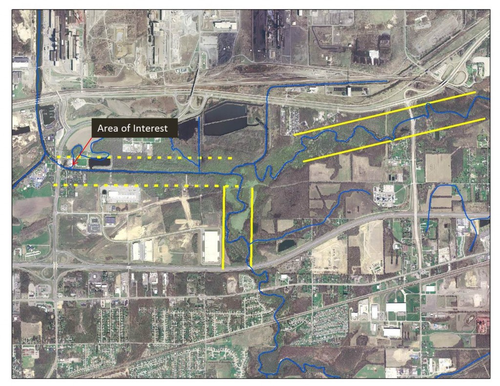
Movement is normal for many rivers. Predicting where the river will move is a primary goal of fluvial erosion hazard mitigation. Established relationships between the size of a river’s drainage area and how much a river may meander, or move, across the landscape, help to predict how much room a river needs to function naturally. This knowledge can aid in the avoidance of fluvial erosion hazards.
It is important to realize that, even when a river has been modified, the river maintains the potential to attempt to reestablish its natural form. As an example, several sections of the Little Calumet River, near Portage, Indiana appear in the image below. The natural tendency of this river can be seen in the uniform shape and size of many of its meanders. Recognizing how much a river will naturally move across the landscape can help to understand how to avoid potential hazards along modified rivers. Once a home or road has been built inside the rivers potential erosion zone, the erosion hazard will exist and the challenge becomes a continual struggle to keep the river from going where its natural drivers may have guided it otherwise.
