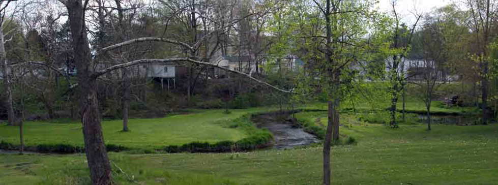
Through the processes of meandering, streambank erosion, and floodplain formation, stream channels naturally establish a geometry that is adjusted to the volumes of water and sediment generated within the basin. In many cases, it is the meandering nature of a stream channel that is viewed as one of the most aesthetically pleasing characteristics of natural waterways. At the same time, it must be recognized that stream channels are dynamic landscape features which continually adjust their location and course. The “fluvial erosion hazard” (FEH) represents a significant concern in areas where human development and infrastructure are established in close proximity to natural waterways. Indiana’s FEH program is a multi-agency mitigation planning effort to provide shared resources so individuals and communities can better recognize areas prone to natural stream-erosion processes and adopt strategies to avoid FEH related risks.

To help with that process, the FEH study team has developed a set of assessment tools to aid in the identification and assessment of fluvial erosion hazards. These tools include a series of descriptive guides outlining the most common channel types found in Indiana, the process of identifying bankfull stage in stream channels, as well as methodologies for bridge screening and the assessment of channel bank stability. This site also links to a USGS report that presents regional channel-dimension curves for non-urban wadeable streams in Indiana. In addition, this site will provide newly developed methodologies appropriate for the mapping of fluvial erosion hazards. Stay tuned!